Tag Archives: Hiking

Standing on Top of Vermont (Part II)

(I apologize for the amount of photos in this post. The view was so beautiful, I need to share. Hope you don’t mind!)

077 (2)

(Continuation from Part I)…Why haven’t I ever heard of people getting to this point on Mount Mansfield?! Maybe because as soon as you overcome it, you’re exhausted, tired, anxious, hungry, nervous from the heights and ready to just soak in the view from the top. At least that’s what it was in my case (and it may have helped if I had pancakes with maple syrup for breakfast). I saw people go up with dogs (somehow) and they seemed fine. Maybe it was just me or maybe they had a teleportation device..  Again, “who came up with this idea anyway?!”

Low and behold (and also because I’m writing this), we made it to the top! Do I have any pictures of the rocks on the way up? Sure as hell don’t! I’ve never shook hiking. Ruffles my stomach just thinking about the steepness of the rocks mixed with the heights and my great imagination. My fear of heights is going no where. Doesn’t’ matter – we made it to the top!
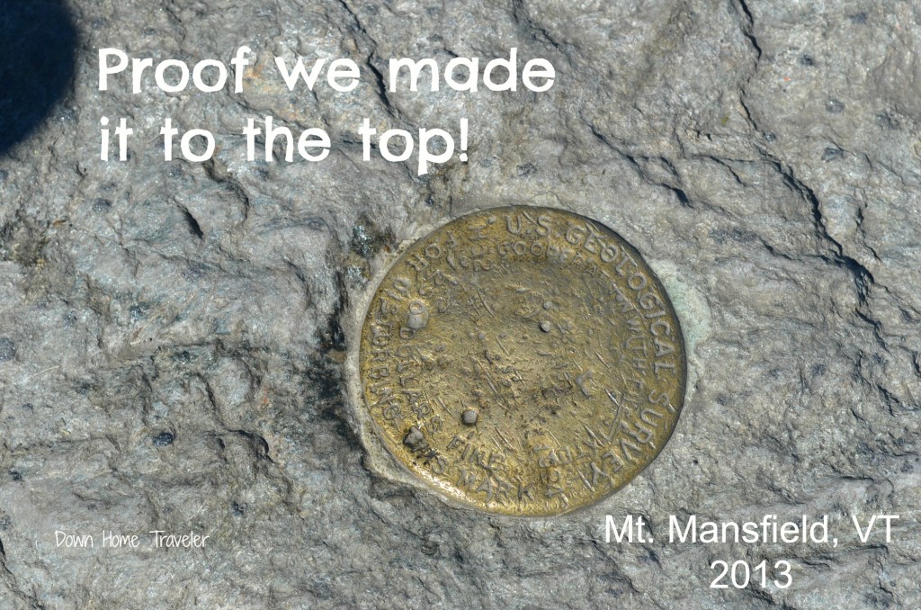
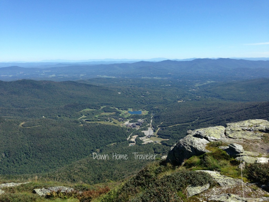
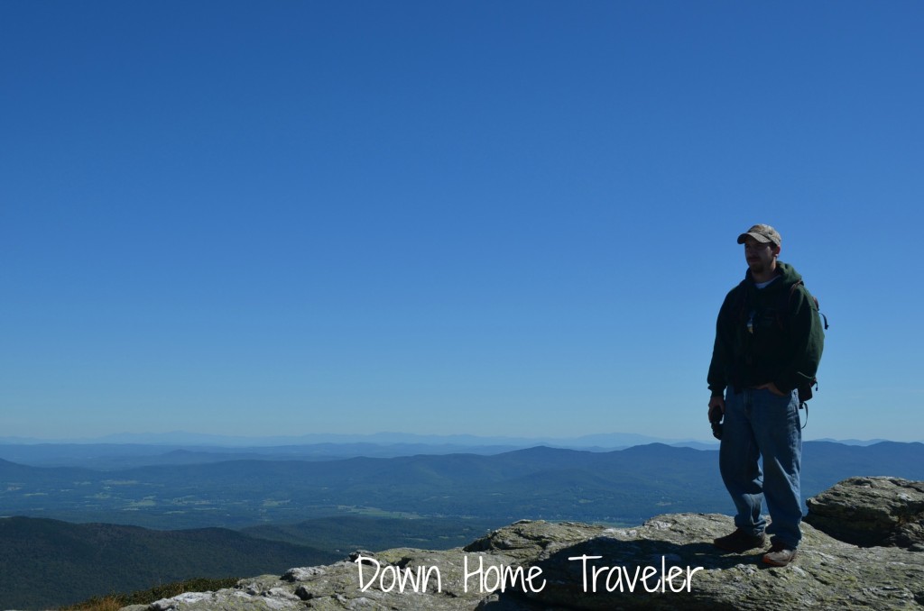
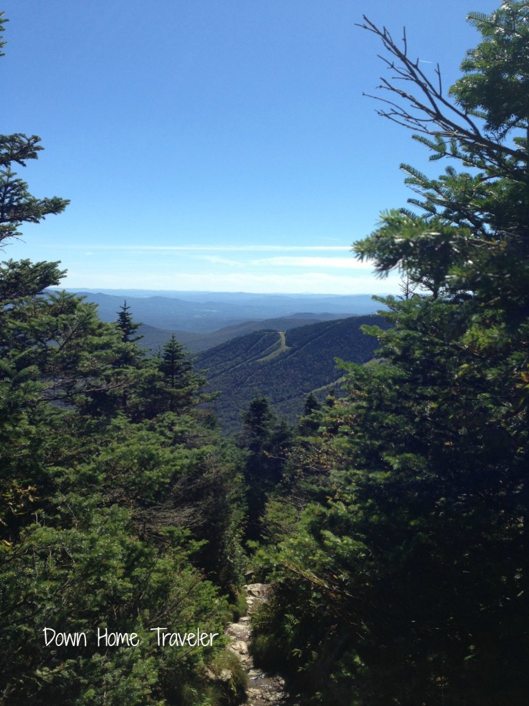
105The summit. Holy beautiful. The view, oh the view is awesome! Vermont, Lake Champlain, Canada, New Hampshire. You can see EVERYTHING! (The couple that we saw at the breaking point… both of them made it up as well!)

076 (2) 075 (2) 074 (2) 073 (2) 072 (2)Check out this video from the summit (or almost… we started walking down and I forgot so it’s close enough!)

The summit is also the best spot to people watch….

  • Mr. Green Mountain Man and I are sitting at the top and here we see Mr. Extreme Mountain Runner coming from the other direction. Jogging away like it isn’t anything. He literally jogs by us, reaches the highest point and then jogs away. We were both speechless. Mr. Extreme Mountain Runner…. May I please jump on your back so you can carry me down?!
141

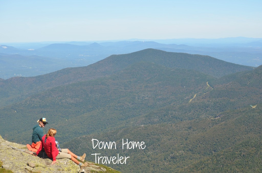
I have no idea who these people are but I really hope they come across this photo! I love it!

  • There was a guy and gal at the top helping to direct folks. Gal is talking to a random visitor who just hiked up and apparently they lived in the same area at some point. Convo goes something like this:

Gal: “You should come visit sometime!”
Random Guy: “Definitely, it was great meeting you.”
Gal: “Yea, bring some friends. Stay the night. You and your friends. Or just you.”
Hello proposition. Way to be bold lady!

  • A fairly good sized group of Middlebury College kids came up the mountain right after we did. They were smart and prepared. Did I mention all I had to eat that morning was a meal bar and we didn’t’ bring lunch? Soon, they all settled down for lunch, pulling out bags of bagels, cheese, pretzels. I kid you not, I literally asked myself how fast I thought I could run if I grabbed one of those bagels and took off in the opposite direction. My response to myself was “not far”. That would’ve been a sight to see.

Meanwhile, I was taking lots of pictures!
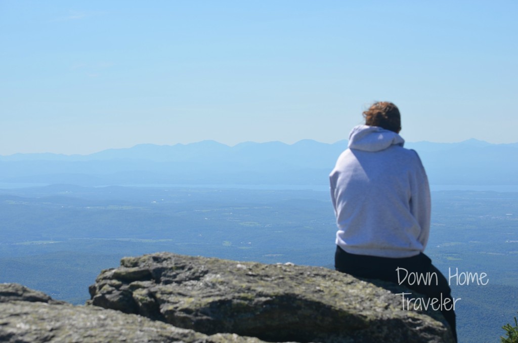
178

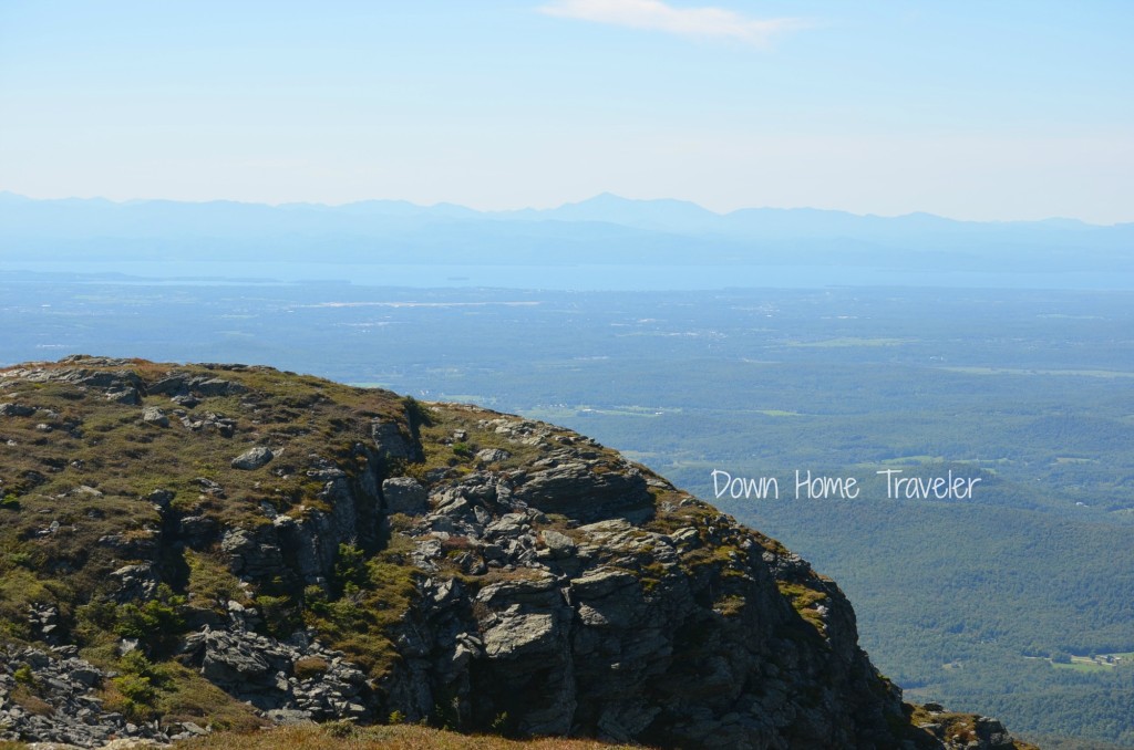
Looking out towards the west – Lake Champlain and New York (far side of the lake) and the Adirondacks.
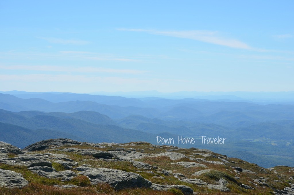
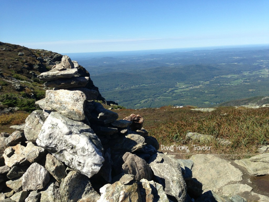
145

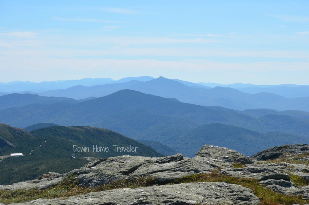
View to the South. Hail Green Mountain State!

142

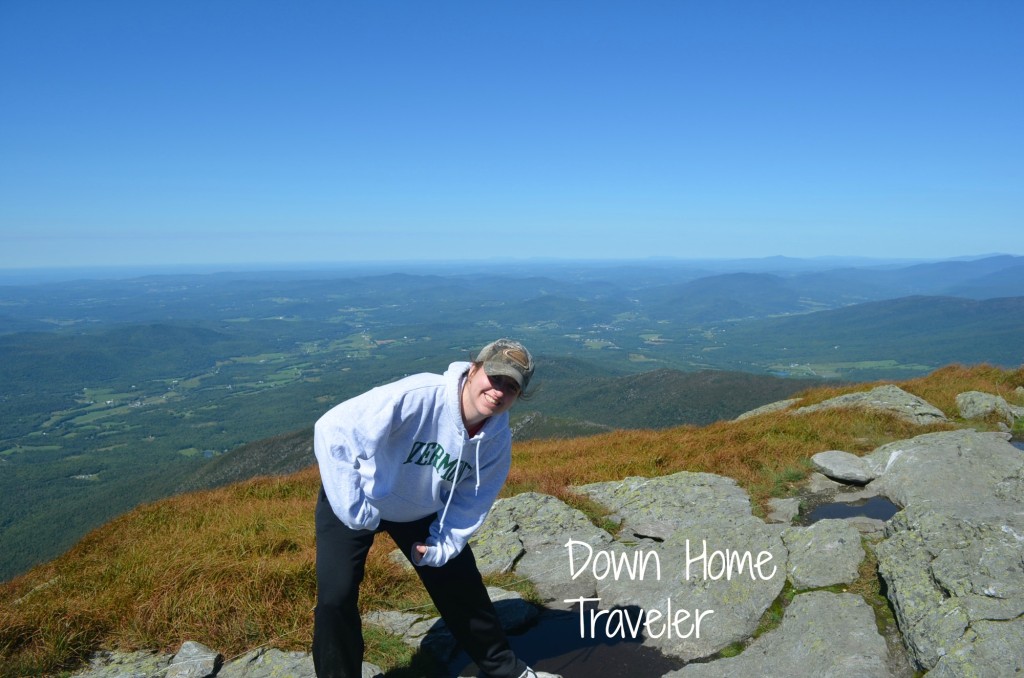
More views looking west down into the valley.

130

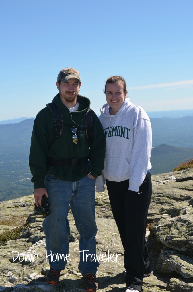
Sibiling love. He has put up with so much of me over the years. I couldn’t love him more!

117

He’s so photogenic, that brother of mine!
Standing on top of the world!

110

My signature move… the muscles!
“I came. I conquered. I’m tired.”

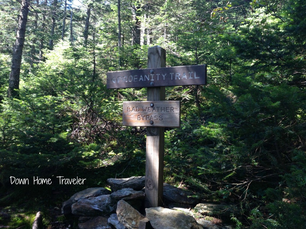
144 081 (2)After we got done taking photos and checking things out with the bino’s (because we were never going up there again)… we decided to take an alternate route down. Obviously. There were a couple other ways down, one called “Profanity Way”… surprising considering I thought I just got done hiking that one. Then, we came upon one that went to the Gondola at Stowe Resort. This should be fine… we’ll hike down some rocks. I mean, it CAN’T possibly be any worse than what we just came up and then taken the Gondola down.  Easy as pie, right?!… (Stay tuned for part III)
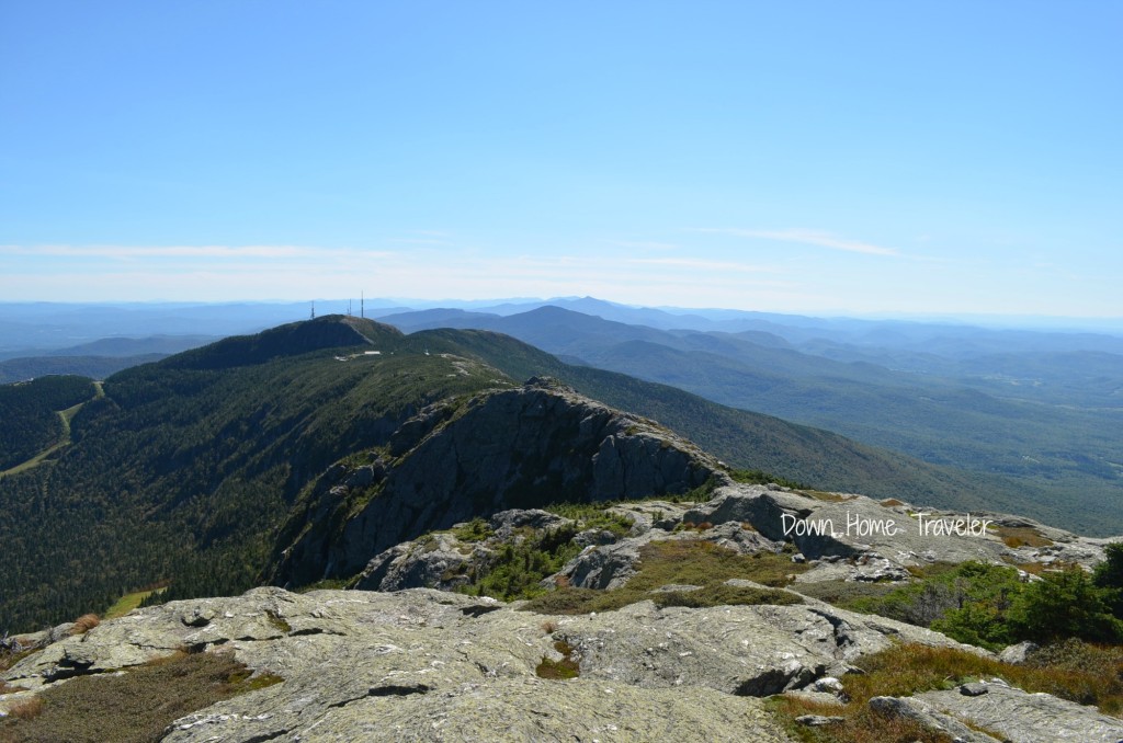
187These mountains will always be my home! I love this state like no other!

An Adventure to the Top of Vermont, Part I

Mount Mansfield, VT

Remember my post on Monday regarding my brother and I’s bonding time? Well, here is part two – we hike. (To tell the full story and provide photo’s I’ll be breaking this up in a couple different segments.)

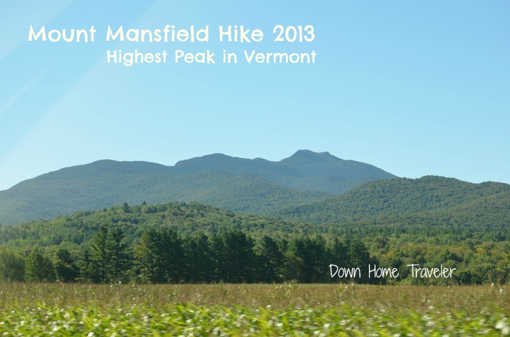
Hiking. This seems like something my brother and I are starting to do whenever I visit and it turns into an adventure. For some reason, I gathered this CRAZY idea to hike Mount Mansfield (the highest peak in Vermont and sits around 4,300 feet above sea level). The iconic Long Trail flows thru, capturing serious and not so serious hikers along the way. This is a recap of our adventure to the top of Vermont…and probably what not to do while hiking…

Friday, September 6th.

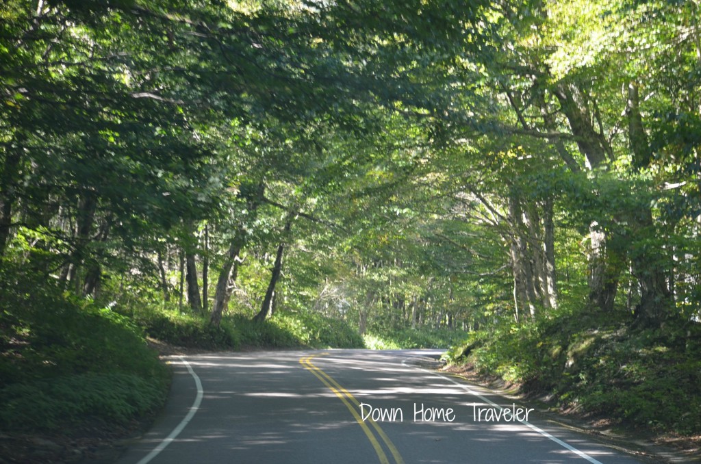
Mr. Green Mountains and I set off to hike. Just getting to the trail head is scenic in itself, winding through the mountains of the Notch.

096

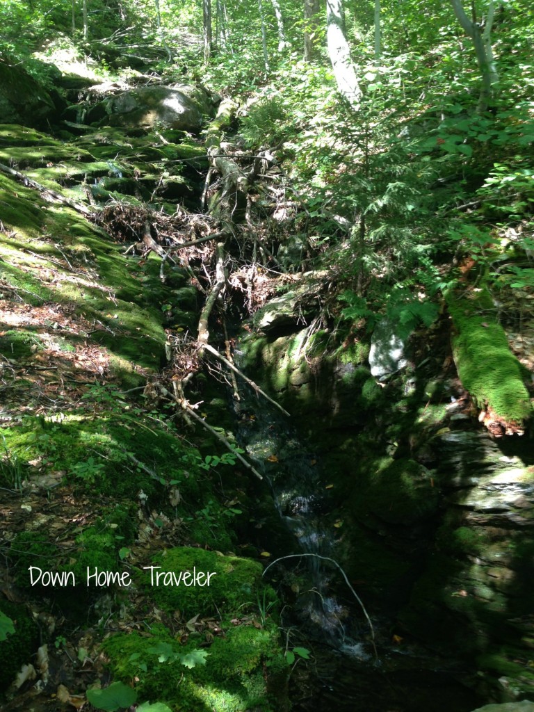
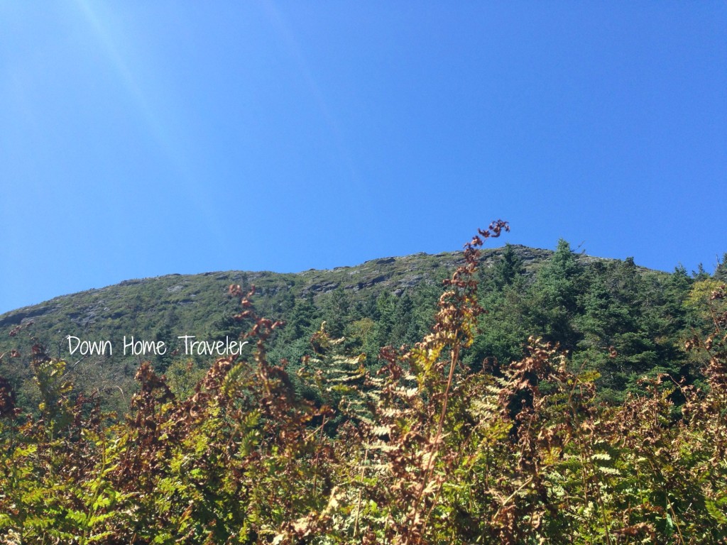
We arrive at our destination, unable to see the top of what we’re about to embark. We start on what we thought was the trail. Only when we returned six hours later, we realized it really wasn’t the trail at all. When we began on “the trail”, he suggested that we jump off and take a more “direct” route to the summit. (Don’t ever do this.) Soon enough, we realized we were not going in the right direction. Traversing over tree trunks, branches, brooks, trees, lots of branches, we finally found the trail (with the help of a compass and I was with Mr. Green Mountain after all). It only took about 40 minutes. Start on the trail folks, start on the trail! (Disclaimer: I highly believe this man will never get lost in the woods in Vermont, maybe anywhere really. I trust him. Did I give him a crazy, I can’t believe I’m doing this look along the way because I’ve been thru this before? Sure did, but I’d trust him over anyone else. Especially after this ride.)

049 (2)

Once on the trail, we hiked up, and up, and up. Occasionally, I would stop to take pictures (or catch my breath). Living in Texas has made me forget what an “incline”. A couple hours in, the summit never seemed to come. Whenever we reached a clearing and I could see the top, it always seemed so far away. It also didn’t help seeing my brother literally running up the mountain in front of me. I could be standing still watching him and I would feel the energy just being sucked out of my body. Who is this guy?!

065 (2)

“When are we going to get there?”
“Who came up with this idea anyway?!”
“My legs are going to look like Tina Turner’s after this!” were phrases coming from me.

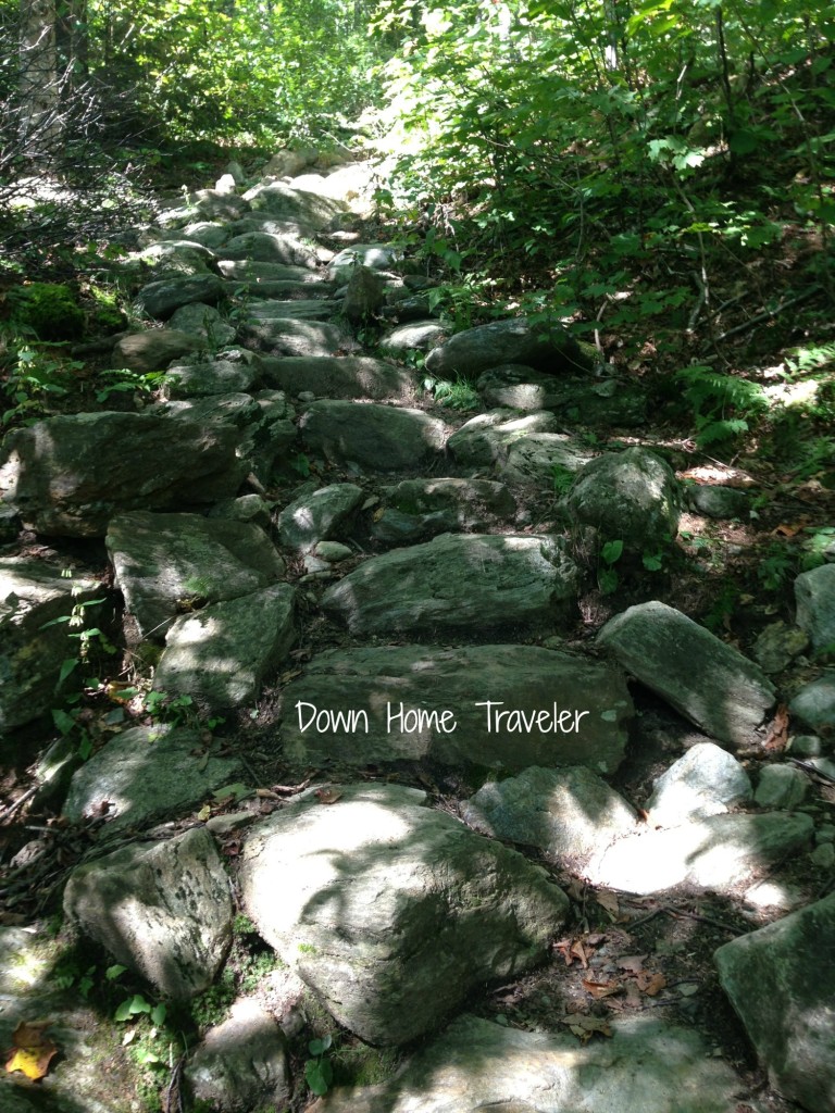
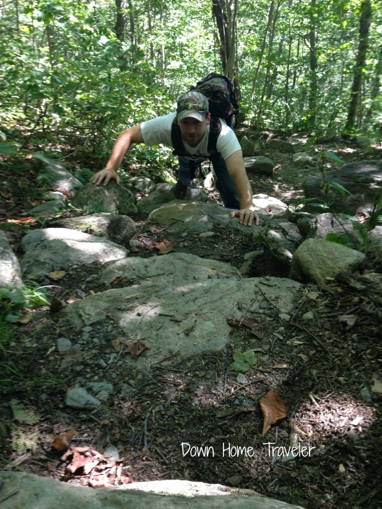
053 (2)067 (2)I guess I didn’t think this through. It seemed like a great idea, at the time. Little did I know this was not going to be the hardest part of my hike. It seemed as if we were just hiking straight up, these large rocks, sometimes they were like steps (or giant steps for my short legs), othertimes we were just hiking. At one point I felt like I was climbing like I just got off a horse, wide legged. I’m sure I looked really cute! On the flip side, the thing I love about hiking is the peacefulness of the woods. You feel so tiny and completely remote and the busyness of the world has disappeared. It’s the tranquility. My place of solitude.

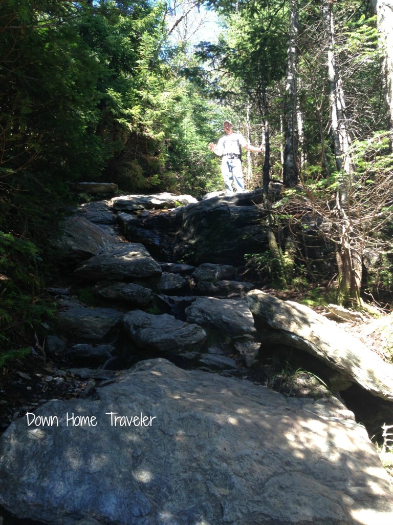
068 (2)Shortly, into our hike, he had me take a picture of him climbing up some step like looking rocks, like we were climbing straight up… ha! What a joke that became!

054 (2)After a while, we were actually getting really close to the summit. We began scaling rocks, really large rocks. At one point, I said, “There’s no way that I’m going to be able to hike down this. It’s too steep and I have no idea how I even got to this point.”

069 (2)Then there came a point where we had a two foot wide trail that came literally to a stop. We had the steep rocks we just climbed up behind us, a complete drop off the side of the mountain on our left and a rock wall to our right. There was no going forward.

This would be a good time to mention I have a great fear of heights…and was shaking.

Another couple comes along and he was equally as scared as I was. All four of us are sitting on the trail wondering what the hell we’re suppose to do. His girlfriend seemed calm as a clam. He and I are shaking. I look at my brother… we’re going to have to make a decision. Then it happened.

 I became an intermediate rock climber without a harness…

Today I’m linking up with The Paper Mama, Jenni From the Blog, Seven Clown Circus, Photography Essentials and Communal Global for{Wordless Wednesday}.

The Enchanted Rock

One of the items on my Texas Bucket List is to hike the Enchanted Rock. When I was in Fredericksburg last month, it was the perfect opportunity! There’s a lot of history and beauty in this area and the landmark itself is really something to see in person. I mean just look at it, it’s massive!

The Enchanted Rock is a 425 foot high, pink granite exfoliation dome rock. The natural area covers 1,643.5 acres just north of Fredericksburg but the rock itself covers 640 acres. It’s an easy, scenic drive (20-30 minutes). You will drive thru the hill country and it’s just astounding. In 1970, the rock was designated a National Nature Landmark and in 1984 was placed on the National Register of Historic Places.

History tells the tale that this rock has been visited by humans for over 11,000 years. Long time, eh?!

Tonkawan Indians believed the rock was in fact enchanted. They claimed that they saw “ghost fires” at the top and often heard “cracking and groaning” noises coming from the rock. Only in 1723, when the Spanish began colonizing Texas, did one of the first documented explorations of the area begin.

Here is an excerpt from the Enchanted Rock State Natural Area website regarding the history of the rock:

“A conquistador captured by the Tonkawa described how he escaped by losing himself in the rock area, giving rise to an Indian legend of a “pale man swallowed by a rock and reborn as one of their own.” The Indians believed he wove enchantments on the area, but he explained that the rock wove the spells. “When I was swallowed by the rock, I joined the many spirits who enchant this place.”

There are three different trails to hike up the Enchanted Rock. I did the direct route, the Summit Hike which was about .75 miles straight up. I’m not going to lie, it’s a little steep so brace yourself if you happen to sit down on a rock on the way up and turn around but definitely do-able. More importantly, entirely worth the view at the top. It’s absolutely amazing. (I’m scared of heights and I’m telling you that so don’t hold back!)

Hailing from the Green Mountain State, I can’t really say that we have landscape quite like this and it was extraordinary to sit at the summit and just try to soak it all in. There’s no view obstruction on this hike.

If you have a chance to check out the park, definitely do so. Take a day trip (there were generations of families hiking the mountain) or stay for the weekend and camp out. I would suggest going first thing in the morning as I arrived around 9:30am by the time I was leaving, the parking lot was full and there was a line to get in.

For more information, please check out the Enchanted Rock State Natural Park website.

Related Posts:
An Introduction to Fredericksburg, TX
History of Fredericksburg, TX

Texas Tuesday link up with Amanda from Princess of the Panhandle and Crystal from Masons Mama. This is a chance for any blogger to participate in a post on the greatness of Texas and for you to see what Texas has to offer! There’s so much to explore!